Polynesia
comprises -> consists of
| ← Previous revision | Revision as of 14:05, 19 April 2026 | ||
| Line 59: | Line 59: | ||
[[File:Mokoliʻi Insel.jpg|thumb|Mokoliʻi Isle near [[Oahu]], [[Hawaii]]]] |
[[File:Mokoliʻi Insel.jpg|thumb|Mokoliʻi Isle near [[Oahu]], [[Hawaii]]]] |
||
Polynesia is characterized by a small amount of land spread over a very large portion of the mid- and southern [[Pacific Ocean]]. It |
Polynesia is characterized by a small amount of land spread over a very large portion of the mid- and southern [[Pacific Ocean]]. It consists of approximately {{convert|117000|to |118000|sqmi|km2|order=flip}} of land, of which more than {{convert|103000|sqmi|km2|order=flip|abbr=on}} are within [[New Zealand]]. The Hawaiian archipelago consists of about half the remainder. |
||
Most Polynesian islands and [[archipelago]]s, including the [[Hawaiian Islands]] and [[Samoan Islands|Samoa]], are composed of volcanic islands built by [[hotspot (geology)|hotspots]] (volcanoes). The other land masses in Polynesia—[[New Zealand]], [[Norfolk Island]], and [[Ouvéa]], the Polynesian outlier near [[New Caledonia]]—are the unsubmerged portions of the largely sunken continent of [[Zealandia]].{{cite journal |last1=Mortimer |first1=Nick |last2=Campbell |first2=Hamish J. |title=Zealandia: Earth's Hidden Continent |journal=GSA Today |volume=27 |year=2017 |pages=27–35 |url=https://www.geosociety.org/gsatoday/archive/27/3/article/GSATG321A.1.htm |doi=10.1130/GSATG321A.1 |url-status=live |archive-url=https://web.archive.org/web/20170217064642/https://www.geosociety.org/gsatoday/archive/27/3/article/GSATG321A.1.htm |archive-date=17 February 2017}} |
Most Polynesian islands and [[archipelago]]s, including the [[Hawaiian Islands]] and [[Samoan Islands|Samoa]], are composed of volcanic islands built by [[hotspot (geology)|hotspots]] (volcanoes). The other land masses in Polynesia—[[New Zealand]], [[Norfolk Island]], and [[Ouvéa]], the Polynesian outlier near [[New Caledonia]]—are the unsubmerged portions of the largely sunken continent of [[Zealandia]].{{cite journal |last1=Mortimer |first1=Nick |last2=Campbell |first2=Hamish J. |title=Zealandia: Earth's Hidden Continent |journal=GSA Today |volume=27 |year=2017 |pages=27–35 |url=https://www.geosociety.org/gsatoday/archive/27/3/article/GSATG321A.1.htm |doi=10.1130/GSATG321A.1 |url-status=live |archive-url=https://web.archive.org/web/20170217064642/https://www.geosociety.org/gsatoday/archive/27/3/article/GSATG321A.1.htm |archive-date=17 February 2017}} |
||
| Line 353: | Line 353: | ||
[[File:Paul Gauguin 056.jpg|Painting of ''Tahitian Women on the Beach'' by [[Paul Gauguin]]—[[Musée d'Orsay]]|thumb]] |
[[File:Paul Gauguin 056.jpg|Painting of ''Tahitian Women on the Beach'' by [[Paul Gauguin]]—[[Musée d'Orsay]]|thumb]] |
||
Polynesia divides into two distinct cultural groups, East Polynesia and West Polynesia. The culture of West Polynesia is conditioned to high populations. It has strong institutions of marriage and well-developed judicial, monetary and trading traditions. West Polynesia |
Polynesia divides into two distinct cultural groups, East Polynesia and West Polynesia. The culture of West Polynesia is conditioned to high populations. It has strong institutions of marriage and well-developed judicial, monetary and trading traditions. West Polynesia consists of the groups of [[Tonga]], [[Samoa]] and surrounding islands. The pattern of settlement to East Polynesia began from Samoan Islands into the Tuvaluan atolls, with [[Tuvalu]] providing a stepping stone to migration into the [[Polynesian outlier|Polynesian outlier communities]] in [[Melanesia]] and [[Micronesia]]. |
||
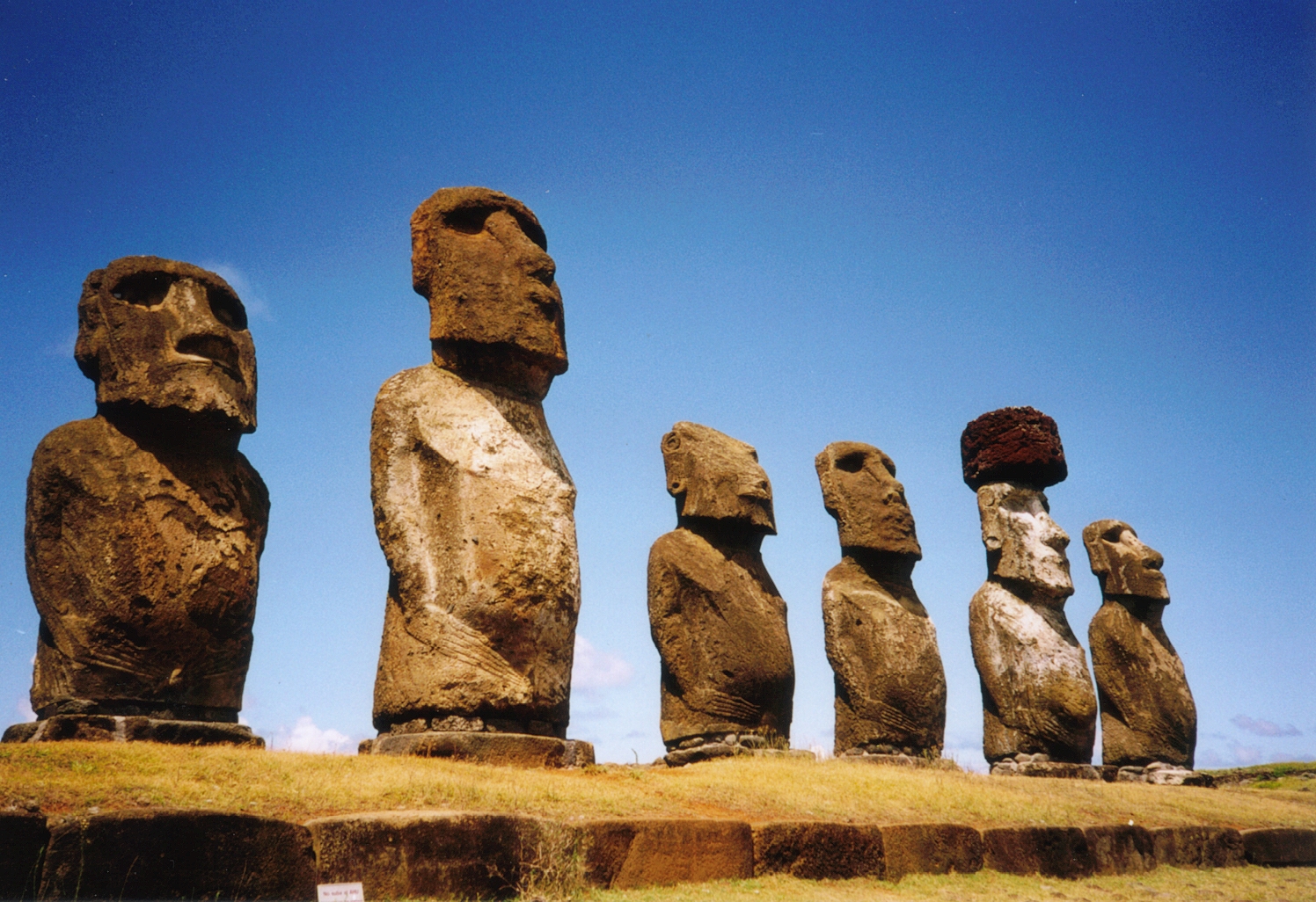
Eastern Polynesian cultures are highly adapted to smaller islands and atolls, principally [[Niue]], the [[Cook Islands]], [[Tahiti]], the [[Tuamotus]], the [[Marquesas]], [[Hawaii]], [[Easter Island|Rapa Nui]], and smaller central-pacific groups. The large islands of [[New Zealand]] were first settled by Eastern Polynesians who adapted their culture to a non-tropical environment. |
Eastern Polynesian cultures are highly adapted to smaller islands and atolls, principally [[Niue]], the [[Cook Islands]], [[Tahiti]], the [[Tuamotus]], the [[Marquesas]], [[Hawaii]], [[Easter Island|Rapa Nui]], and smaller central-pacific groups. The large islands of [[New Zealand]] were first settled by Eastern Polynesians who adapted their culture to a non-tropical environment. |
||
| Line 531: | Line 531: | ||
{{Main|Polynesian navigation}} |
{{Main|Polynesian navigation}} |
||
Polynesia |
Polynesia consists of islands diffused throughout a triangular area with sides of four thousand miles. The area from the Hawaiian Islands in the north, to Easter Island in the east and to New Zealand in the south were all settled by Polynesians. |
||
[[Navigator]]s traveled to small inhabited islands using only their own senses and knowledge passed by [[oral tradition]] from navigator to apprentice. In order to locate directions at various times of day and year, navigators in Eastern Polynesia memorized important facts: the motion of specific [[star]]s, and where they would rise on the [[horizon]] of the ocean; [[weather]]; times of travel; wildlife species (which congregate at particular positions); directions of swells on the ocean, and how the crew would feel their motion; colors of the sea and sky, especially how clouds would cluster at the locations of some islands; and angles for approaching harbors. |
[[Navigator]]s traveled to small inhabited islands using only their own senses and knowledge passed by [[oral tradition]] from navigator to apprentice. In order to locate directions at various times of day and year, navigators in Eastern Polynesia memorized important facts: the motion of specific [[star]]s, and where they would rise on the [[horizon]] of the ocean; [[weather]]; times of travel; wildlife species (which congregate at particular positions); directions of swells on the ocean, and how the crew would feel their motion; colors of the sea and sky, especially how clouds would cluster at the locations of some islands; and angles for approaching harbors. |
||


